





















Gasumo is located in the Bururi province (or the Rutovu/Rutana district in the central highlands of the Republic of Burundi) and marks the southernmost source of the Nile, the longest river in Africa and the world. For centuries, this geographical landmark has captured the interest of geographers and explorers, surrounded by an aura of legend and scientific debate regarding the true origin of a river system that traverses ten African nations before emptying into the Mediterranean Sea.
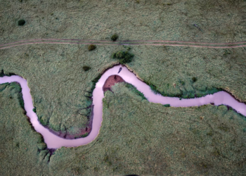
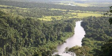
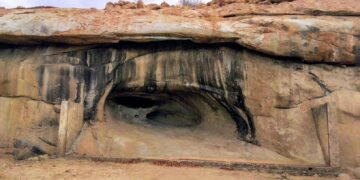
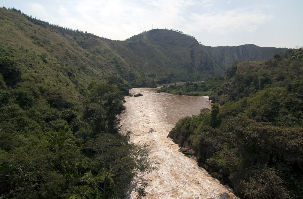
The site consists of a modest spring flowing from the slopes of Mount Gikizi (or Mount Kikizi) at an altitude of over 2,000 metres above sea level. The spring appears as a small stream, its waters murmuring softly amidst the green mountainous terrain and the agricultural terraces cultivated by local inhabitants. From this humble source, the water begins its long journey through the Ruvyironza River—a tributary that eventually flows into the Ruvubu River, then into the Kagera River, and finally reaches Lake Victoria—thereby feeding the White Nile as it winds its way northward.
Many credit the German explorer Burkhart Waldecker with Gasumo’s documentation and historical significance, who identified it in 1937 (or 1934, according to some early administrative records). Waldecker sought to resolve the extensive debates sparked by the great geographical expeditions of the nineteenth century, during which explorers such as John Hanning Speke, Richard Burton, and Henry Morton Stanley vied to identify the true source of the Nile. While Lake Victoria was long considered the primary traditional source, subsequent hydrological studies demonstrated that the Nile system extends even further south through tributaries feeding into Lake Victoria. Among these, the Gasumo source stands out as the southernmost point contributing water to the river’s overall hydrological system.
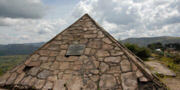
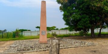
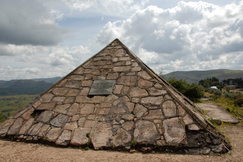
To commemorate this discovery, a small pyramid-shaped monument was erected in 1938 by the Burundian geographical authorities, under the direction of Waldecker. Inscribed on the pyramid is the concise Latin phrase “CAPUT NILI MERIDIANISSIMUM”, which literally translates to “the southernmost source of the Nile”. The pyramid’s design includes a small arrow pointing northward—a clear symbolic reference to the long journey water droplets take from the heart of equatorial Africa to the river’s mouth in Egypt. The monument is regarded as a national landmark that bolsters Burundi’s presence on the historical and environmental map of Africa.
Although the historical recognition of the Gasumo source is relatively well-established, modern geography remains a field characterised by ongoing scientific discussion and debate. In the mid-2000s, a joint British-New Zealand expedition sparked a new geographical debate by employing Global Positioning System (GPS) technology. They argued that the Rukarara River—located within the Nyungwe Forest in neighbouring Rwanda—lies slightly further from the river’s mouth than the Rutovu spring in Burundi, thereby positioning it as a contender for the title of the most distant source.
Despite this technical controversy—which hinges on precise distance-measurement criteria and the complexities of the terrain—the Gasumo spring in Burundi retains the deepest historical significance, the longest-standing documentation, and a traditional geographical recognition, reinforced by existing physical markers.
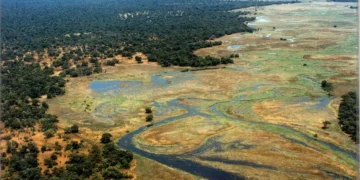
The environment surrounding the Gasumo spring holds immense ecological significance, as it is situated within tropical highlands characterised by unique biodiversity and distinct phytogeographical features. In recent decades, however, the area has faced mounting environmental challenges driven by increasing demographic pressures. Urban expansion, steady population growth, and intensive agricultural practices on the surrounding hillsides have placed severe strain on land and water resources. The use of chemical fertilisers and pesticides on nearby farmlands poses a potential risk of contaminating the upper reaches of the waterways, thereby compromising the quality of the water at the very start of the Nile’s long journey.
Environmental authorities in Burundi, in collaboration with local organisations, are working to protect the site and develop strategies for sustainable ecotourism. This approach toward sound environmental management aims to curb soil erosion—exacerbated by deforestation—and to improve agricultural practices by promoting agroecology. Such measures help preserve the natural vegetation surrounding the spring, which acts as a “natural sponge”, regulating groundwater flow and preventing the spring from drying up during seasonal dry spells.
From a tourism perspective, Gasumo has become a favoured destination for those seeking exploration, history, and quiet adventure, far removed from the bustle of major cities. Visiting the site offers a unique opportunity to discover the nature of the Burundian highlands, with the chance to traverse mountain paths amidst terraced green hills and rural communities that still uphold their traditional daily customs. Such a visit is often complemented by exploring other natural and cultural landmarks in the region—such as the nearby Karera Falls—or heritage sites linked to traditional Burundian culture, including the sacred royal drumming rituals known as “Ingoma”, which are recognised by UNESCO as Intangible Cultural Heritage.
Besides, the World Bank Burundi Colline Climate Resilience Project Document explicitly lists Gasumo as one of the 10 key cultural/natural landscapes designated for local resilience and preservation framework planning. The academic workshop paper Proceedings of the Twin Workshops on Harmonisation of African World Heritage Tentative Lists, which reviewed the national strategies for safeguarding African landmarks, cited the “Gasumo of Burundi” as a vital candidate for UNESCO heritage tracking.