


























The northern region of the Central African Republic constitutes a distinct geographical and ecological zone where the Sudano-Guinean savanna meets wetlands and swamps. Within this expansive landscape lies Manovo-Gounda St Floris National Park, one of the largest and most complex nature reserves in Central Africa.
Situated in the northern Bamingui-Bangoran prefecture, the park covers a vast area of approximately 17,400 square kilometres (1,740,000 hectares). Despite the exceptional ecological significance that earned it a place on the UNESCO World Heritage List, the park’s recent history serves as a stark illustration of the complex environmental and security challenges facing the region.
The administrative history of designating this land for environmental protection dates back to the early 20th century. In 1933, French colonial authorities designated parts of the area as the Oubangui-Chari National Park. Subsequent renamings and boundary adjustments followed; it became known as St Floris National Park in 1940 with an initial area of 40,000 hectares, before gradually expanding during the 1960s and 1970s.
In 1979, the establishment of Manovo-Gounda St Floris National Park was officially announced in its current form and size, granting the state full legal authority over the land to protect its biodiversity. These efforts culminated in international recognition when UNESCO inscribed the site on the World Heritage List in 1988, based on ecological criteria reflecting the region’s rich species diversity and varied natural habitats.
However, this prestigious status was short-lived; in 1997, the UNESCO committee placed the park on the List of World Heritage in Danger due to the rapidly deteriorating security conditions, illegal incursions by armed groups and poachers, and overgrazing, all of which disrupted the area’s original ecological balance.
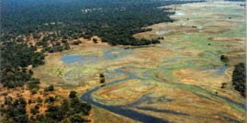
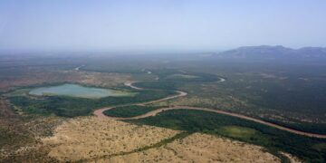
Manovo-Gounda St Floris National Park spans three main geographical and topographical zones that define its ecological diversity. The Northern Floodplains comprise the lowlands adjacent to the Bahr Aouk and Bahr Kameur rivers along the border with the Republic of Chad. These plains are characterised by deep alluvial soils that retain water and are subject to seasonal flooding.
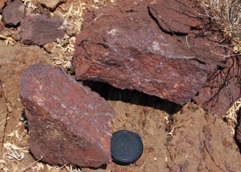
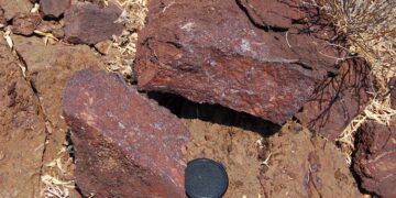
The Central Transitional Plains are situated between the northern plains and the southern plateaus; this zone consists of undulating terrain dominated by shrub and tree savanna. These plains are interspersed with isolated granite rock formations (inselbergs), and the soil is generally ferruginous and of low fertility.
The Bongo Massif is located in the southern zone, this feature consists of sandstone plateaus rising to approximately 940 metres above sea level; they descend toward the plains via a rocky escarpment ranging from 100 to 200 metres in height.
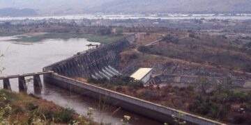
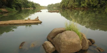
Five major river systems—originating in the Bongo Massif and flowing northward toward the floodplains—traverse the park: the Vakaga, Goro, Gunda, Kombala, and Manovo rivers. These watercourses play a vital role in regulating the region’s hydrological cycle, although some partially dry up during periods of severe drought.
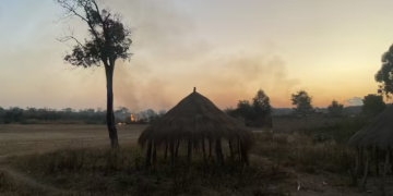
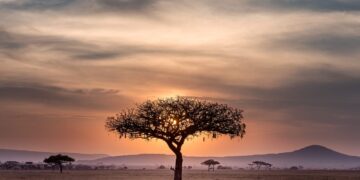
Climatically, the park experiences a sub-humid tropical climate known as the Sudano-Guinean climate. Annual rainfall ranges between 950 and 1,700 mm, with the majority of precipitation occurring between June and November. This is followed by a hot, dry season lasting from December to May, during which natural and human-induced fires frequently sweep through the savanna grasslands.
The park boasts a unique biological composition that combines elements of dry savanna, wet savanna, and aquatic ecosystems. Historically, this region served as one of the most important refuges for large mammals in equatorial Africa. The reserve is home to significant populations of African elephants (savanna elephants), black rhinos—which had faced near-extinction in the region—giraffes, and hippopotamuses, as well as predators such as lions, leopards, and African wild dogs. The area also supports various antelope species—including kob, waterbuck, hartebeest, and roan antelope—alongside herds of African buffalo.
In terms of birdlife, the park is classified by international organisations as an Important Bird Area (IBA). Its northern floodplains and marshes host vast numbers of waterfowl and migratory birds. Notable resident and migratory species include pelicans, herons, various types of storks (such as the marabou stork), and spur-winged geese, in addition to numerous species of birds of prey and birds endemic to the savanna region.
Despite its vast expanse and theoretical legal protection, Manovo-Gounda St Floris National Park faces ongoing environmental and security crises that have caused a sharp decline in its biodiversity indicators. The most significant challenges are poaching and the ivory trade. In recent decades, the park has experienced waves of intensive, organised poaching. Transborder armed groups have used sophisticated weaponry to target large mammals, resulting in an elephant population decline of over 80% compared to the 1980s and the near-total disappearance of species such as the black rhinoceros.
The park’s territory overlaps with traditional grazing routes used by cattle herds from neighbouring countries. The annual influx of hundreds of thousands of livestock leads to competition for water and vegetation, the transmission of diseases to wildlife, and the destruction of the natural environment.
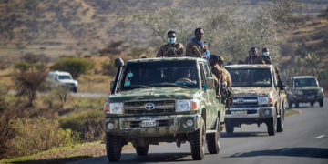
Recurring armed conflicts and the absence of state authority in the northern regions of the Central African Republic have led to the abandonment of ranger outposts and the disruption of monitoring and scientific research programmes. Conservation staff and rangers have faced repeated attacks, hindering the enforcement of environmental laws. Recurrent, irregular fires during the dry season alter vegetation structure and hinder tree regeneration, while fluctuations in rainfall patterns cause watercourses to dry up for periods exceeding the natural cycle.