


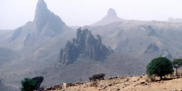
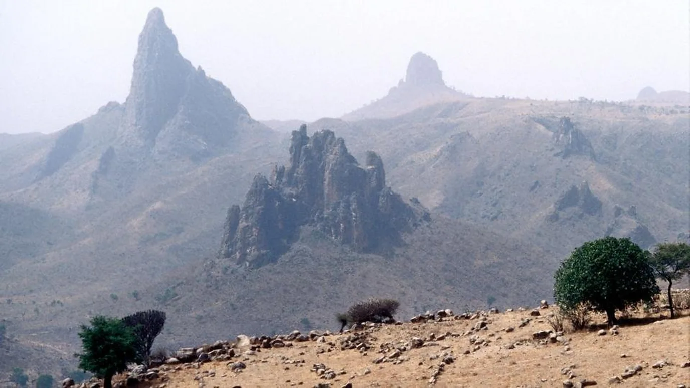
The Mandara Mountains are one of the most prominent geographical and human landmarks in West and Central Africa, stretching as a volcanic mountain range along the northern border between Cameroon and Nigeria. Extending for approximately 200 kilometers, these mountains are characterized by their rugged terrain and unique rock formations, which have made them a safe haven and home to diverse ethnic groups over the centuries, creating a complex cultural tapestry where history and geography intertwine.
Geologically, the Mandara Mountains are composed primarily of granite and schist, the result of ancient volcanic activity dating back millions of years. Peak elevations range from 1,100 meters to approximately 1,494 meters above sea level at their highest point, Mount Oupay.
The terrain is characterized by steep slopes, deep valleys, and high plateaus. The climate in this region is a Sudano-Sahelian climate, characterized by a long dry season and a short rainy season between June and October. This harsh environment has forced local inhabitants to develop innovative engineering solutions to cope with the scarcity of flat land and soil erosion.
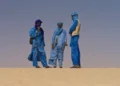
The inhabitants of the Mandara Mountains are often referred to as “Kirdi,” an umbrella term historically used by their Muslim neighbors to describe peoples who did not convert to Islam and maintained their traditional beliefs. The region is home to dozens of smaller ethnic groups, most notably the Mofu, Mtegum, Ittihad, Kebsi, and Mandara.
These groups are characterized by a high degree of cultural and linguistic independence, each possessing its own dialect or language belonging to the Chadic language family. The geographical isolation provided by the mountains protected these groups from external invasions, particularly during the Sokoto Caliphate and the Kanem-Bornu Empire, contributing to the preservation of their rituals and social structures for centuries.
From an anthropological perspective, the most remarkable achievement of the Mandara people is their terraced farming system. Due to the steep slopes, they constructed complex dry stone walls to retain soil and prevent erosion by monsoon rains.
The traditional sustainability techniques used include soil management, as farmers rely on a precise system of organic fertilization and crop rotation (such as millet, sorghum, and groundnuts). Trees such as acacia, neem, and baobab are planted for their fruit and also to stabilize the soil, provide shade, and feed livestock. The people raise cattle in enclosed pens within their homes (a fattening system), where their manure is used as a primary fertilizer for the terraced fields, creating a complete ecological cycle.
Despite the prevailing tribal structure, the region witnessed the emergence of organized political entities, most notably the Mandara Kingdom, which arose around the 15th century. This kingdom was an important commercial and military center, and its rulers later converted to Islam, creating a kind of political balance between the (then pagan) mountain inhabitants and the Islamic powers of the surrounding plains.
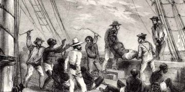
The mountains saw constant conflicts over resources and enslaved people, with fortified mountain villages serving as defensive strongholds against raids. This history of continuous defense shaped the collective character of the inhabitants, who tend toward caution, self-reliance, and a deep connection to the rocky terrain.

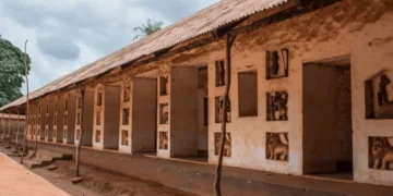
The village of Sukur, on the Nigerian side of the Mandara Mountains, represents the pinnacle of human-environment interaction and is a UNESCO World Heritage Site. The area is characterized by the chiefman’s palace, stone tombs, and centuries-old stone-paved roads. Architecture in the Mandara Mountains relies on the use of local stone and thatch. The houses are circular, clustered in residential complexes surrounded by stone or hedge walls, and include silos for storing grain, designed to protect the harvest from dampness and rodents.
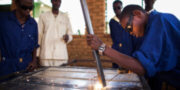
The people of the Mandara Mountains were renowned for their exceptional skill in blacksmithing and iron smelting, using traditional clay furnaces. Blacksmiths held a dual social status; on the one hand, they were skilled technicians crafting agricultural tools and weapons, and on the other, in some local cultures, they were considered a separate class possessing spiritual powers. This industry contributed to the military and economic strength of the mountain people in their relations with their neighbors.
In modern times, the Mandara Mountains region has faced significant challenges that have impacted its stability:
- Armed Activity: The region has suffered the consequences of Boko Haram’s activities. Armed groups have exploited the rugged terrain and mountain caves as hideouts, leading to the displacement of thousands of residents and disrupting agricultural and tourism activities.
- Climate Change: Droughts have become more frequent and prolonged, impacting the productivity of agricultural terraces and driving young people to migrate to larger cities like Maroua in Cameroon or Maiduguri in Nigeria.
- Developmental Isolation: Mountainous regions suffer from a lack of basic services such as paved roads and hospitals due to the difficult terrain and high construction costs.
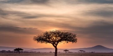
Besides, before the recent security disturbances, the Mandara Mountains were a major destination for ecotourism and anthropological tourism. The region offers breathtaking scenery, particularly in the Rumseki area, which features stunning volcanic peaks and traditional villages that have preserved their primitive way of life.
The mountains are also a repository of biodiversity, home to plant and bird species adapted to the high altitudes and semi-arid climate, making them a natural laboratory for environmental studies.


